Feeds:
Posts
Comments

Posts Tagged ‘navigation’

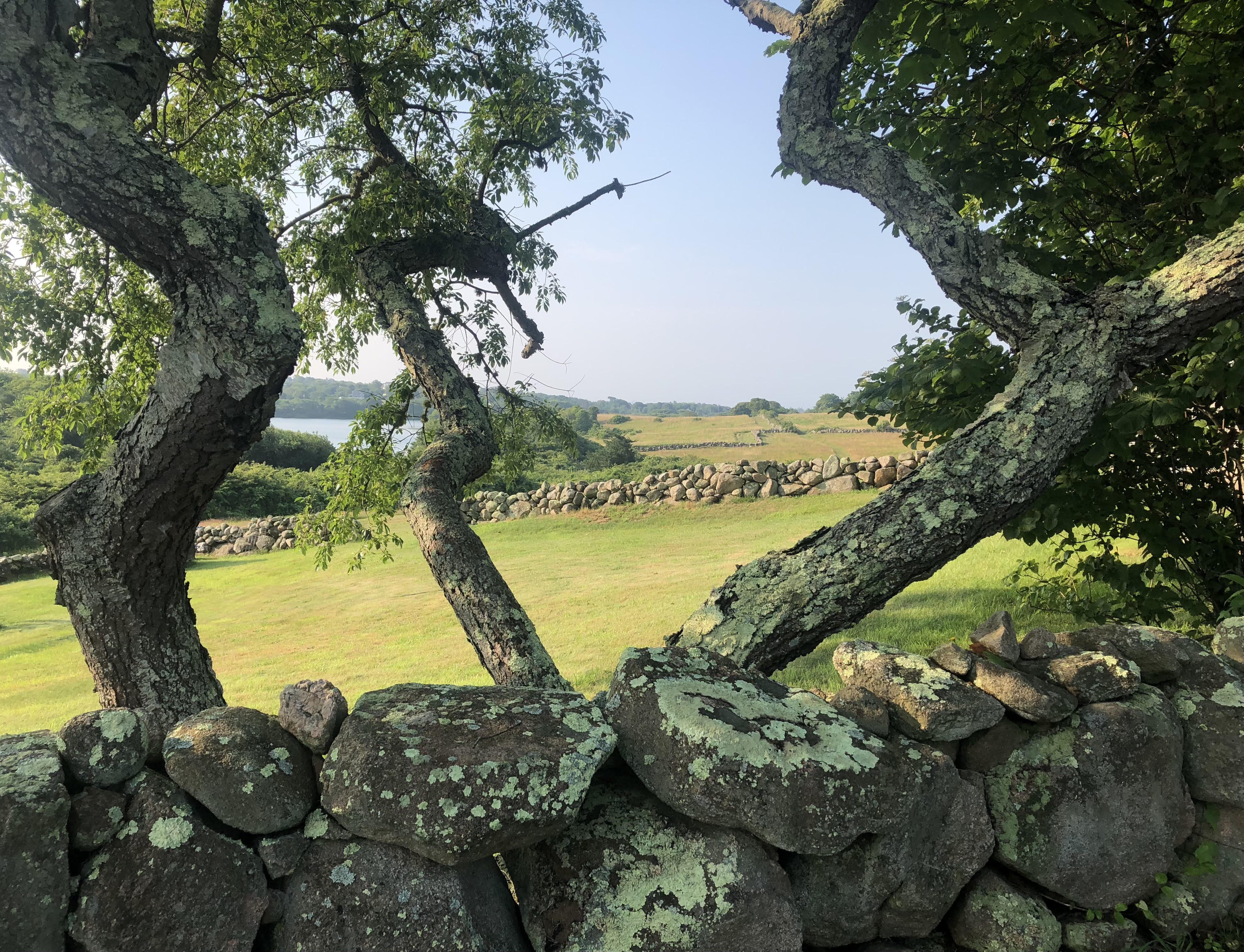
Photo: Chewy C. Lin.
Ken Daniel, a Marshallese sailor, wears brain-recording equipment aboard a research vessel in the South Pacific.

A cool thing about scientific research today is the increased outreach to indigenous people for help with mysteries that others know little about.

Alexa Robles-Gil writes at the New York Times, about one such effort.

“When leaving an atoll of the Marshall Islands, in the Pacific, Alson Kelen prefers to sail after sunset. It’s like navigating with his eyes closed — allowing him to feel the up, down and sideways movement of every swell. ‘That’s how the Marshallese navigate,’ he said. ‘They navigate with their stomach.’

“For thousands of years, Marshallese navigators used traditional wave-piloting techniques to travel vast expanses of ocean. Wave piloting is the art of feeling and reading the swells and waves that hit and emanate from the region’s atolls. After a lifetime of studying these and other patterns, navigators pass a test devised by their chiefs to become a ri meto, or person of the sea.

“In the mid-1940s through the 1950s, nuclear testing by the American military displaced some Indigenous populations of the Marshalls. The ancient and sacred art of wave piloting was kept alive by a small group of people, among them Capt. Korent Joel, one of the last known experts in traditional navigation, who trained his younger cousin, Mr. Kelen. Captain Joel died in 2017.

“In early August, a team of international researchers, along with Marshallese sailors, set sail on a two-day voyage to study the cognitive process of way-finding at sea — and, more broadly, to help preserve the ancient art of navigation, which is having a cultural revival in the Pacific islands. Maria Ahmad, a Ph.D. student in cognitive neuroscience at University College London, devised the project after living on the Marshalls for many years. …

“Humans find their way across cities and forests by relying on visual landmarks. But the ocean, an ever-changing environment with no fixed visual markers, presents a more complex — and higher-stakes — challenge for the brain.

“A decade ago, researchers on a similar voyage documented Mr. Kelen’s understanding of the ocean as he sailed from one atoll, Majuro, to another, Aur, on a traditional Marshallese sailing canoe. The goal was to begin to understand how wave pilots successfully make their way from one destination to another despite the complexities of fluid dynamics. On board were an anthropologist, a physicist and an oceanographer, but no neuroscientists.

“This time around, the researchers hoped to answer more cognitive questions: How do people know where they are at sea? And how can that skill set be preserved? The crew comprised neuroscientists, a philosopher, a Marshallese anthropologist and two Marshallese sailors. Every 30 minutes, the people aboard the vessel had to draw their location, or at least where they thought they were, on a map — including the direction that the waves seemed to be coming from. …

“ ‘What is it that they are getting right over the rest of us?’ said Hugo Spiers, a neuroscientist at University College London who has studied navigation for more than two decades and was among the passengers. …

“Also on board were hundreds of pounds of technology: accelerometers to measure the boat’s speed; a watch on everyone’s wrist to measure heart rate; eye-tracking technology, to document where people were gazing; equipment to record brain activity relative to swell movement; a mounted 360-degree camera that captured changes in the sails and clouds; and more.

“In earlier research, Pablo Fernandez Velasco, a philosopher at the University of Stirling in Scotland, spent months in Siberia studying the Evenki people. … Dr. Fernandez Velasco has also collaborated with Dr. Spiers to study the brains of London taxi drivers, revealing just how efficiently they can plan routes. …

“The findings from the Marshall Islands voyage could also have implications for the study and diagnosis of Alzheimer’s, the researchers said. With Alzheimer’s, the hippocampus becomes smaller over time, and disorientation is an early symptom.

“That research could benefit residents of the Pacific islands, where there is a high incidence of Alzheimer’s but little public awareness. … Explaining the disease requires complex translation, added Jerolynn Neikeke Myazoe, an anthropologist and translator on the voyage: ‘We don’t really have a specific word for it.’

“Although the project is still in the early stages of processing data, Mr. Kelen, who leads a canoe and sailing school in the Marshalls, finds the project promising for the Marshallese. ‘The most relevant thing to do is look back on how our ancestors survived on these rocks,’ he said. ‘This is the only weapon we have — our tradition, our culture. He added: ‘A navigator is a culture-keeper of the ocean.’ ”

More at the Times, here. Great pictures. (A tip of the hat to Hannah for the link!)

Read Full Post »

Photos: Suzanne’s Mom.
Childhood walks in the natural world are associated with better navigation skills in age.

According to a recent New York Times article by Benjamin Mueller, whether or not a patient navigated irregular spaces in the great outdoors as a child may help with diagnosing later dementia. If an old person keeps getting lost, it may not mean Alzheimer’s. It may only mean she grew up in a gridlike city.

Mueller writes, “As a child in Chicago, Stephanie de Silva found that the city helped her get where she was going. Streets included directional names like ‘West’ or ‘North,’ and they often met at neat right angles. If all else failed, Lake Michigan could situate her.

“But when Ms. de Silva, 23, moved to London, where she now studies cognitive science, she suddenly could not navigate to a restaurant two blocks from home without a smartphone map. The streets were often crooked. Sometimes they seemed to lead nowhere. …

“Scientists in Ms. de Silva’s lab at University College London, along with colleagues in Britain and France, have now arrived at an explanation: People who grow up in predictable, gridlike cities like Chicago or New York seem to struggle to navigate as easily as those who come from more rural areas or more intricate cities.

“Those findings, published in Nature [in March], suggest that people’s childhood surroundings influence not only their health and well-being but also their ability to get around later in life. Much like language, navigation is a skill that appears to be most malleable when people’s brains are developing, the researchers concluded.

The authors hope the findings eventually lead to navigation-based tests to help diagnose Alzheimer’s disease.

“Getting lost can sometimes occur earlier in the course of the illness than memory problems, they said. Researchers have developed virtual navigation tests for cognitive decline, but they can interpret the results only if they know what other factors influence people’s way-finding abilities.

“Among the forces shaping people’s navigation skills, the study suggested, was what kind of places they experienced as a child.

“ ‘The environment matters,’ said Hugo Spiers, a professor of cognitive neuroscience at University College London and one of the study’s lead authors. ‘The environment we’re exposed to has a knock-on effect, into the 70s, on cognition.’ …

“In 2015, Michael Hornberger, who studies dementia at University of East Anglia in England, heard about a company that wanted to invest in dementia-related research.

“Having just attended a workshop about gaming in science, he proposed a video game that could help him figure out how people of different ages, genders and locations performed on navigation tasks. Such a game, he thought, could create benchmarks against which to assess patients who might be in the early stages of Alzheimer’s disease.

“To his surprise, the company — Deutsche Telekom, a major stakeholder in T-Mobile — funded his idea. Known as ‘Sea Hero Quest,’ the smartphone game involved steering a boat to find sea creatures. …

“The scientists had hoped that the game would draw 100,000 people in Western Europe. The participants would be testing their navigation skills while also providing basic demographic details, like whether they had grown up in or outside of cities.

“Instead, over 4.3 million people joined in, generating a global database of clues about people’s ability to get around. ‘We underestimated the gaming world,’ Dr. Hornberger said. ‘It went beyond our wildest dreams.’

“For all its simplicity, the game has been shown to predict people’s ability to get around real places, including London and Paris. In recent years, the research team has used the resulting data to show that age gradually erodes people’s navigation skills. ….

“The latest study addressed what its authors described as a more vexing question: Do cities, however grid-like, have the effect of honing people’s navigational skills by offering them a plethora of options for moving around? Or do people from more rural areas, where distances between places are long and paths are winding, develop superior navigation abilities?

“To find out, the researchers studied game data from roughly 400,000 players from 38 countries. The effect was clear: People who reported growing up outside cities showed better navigation skills than those from within cities, even when the scientists adjusted for age, gender and education levels. …

“Players of varying nationalities performed differently. Urbanites from some places, like Spain, came very close to matching the navigation skills of their rural counterparts. In other nations, like the United States, people raised in cities were at a huge disadvantage.

“One explanation, the researchers suggested, was that in countries whose biggest cities were complex patchworks, like Spain, chaotic street layouts had sharpened navigation skills.”

More at the Times, here.

Read Full Post »

And speaking of fairyland … would a map help?

You can view “Maps from Fiction” in the Boston Public Library’s Leventhal Map Center through October 25 — including a map of Fairyland, a map of Oz, and a map showing both Wild Island and the Island of Tangerina.

Mark Feeney writes at the Boston Globe, “Whether the places are real or imaginary, every map is itself a kind of fiction. Those lines and color shadings and cross-hatchings and numerals and words are as ‘real’ as the sentences in a novel or characters in a cartoon are.

“The London and southern England found in Holling C. Holling’s ‘Sherlock Holmes Mystery Map’ are as real as an order of fish and chips, but the events recorded on it aren’t. … The 100-Acre Wood of the Winnie-the-Pooh books are more familiar to some than their own backyards, in no small part thanks to the enchanting watercolors Ernest H. Shepard drew on its maps. What places are more vivid in the minds of readers than Midde-earth, Oz, Narnia, Neverland, H.P. Lovecraft’s Dreamlands, or George R.R. Martin’s ‘Song of Ice and Fire’ lands?”

Feeney’s article also muses about a Harvard exhibition of historical maps called “Finding Our Way: An Exploration of Human Navigation.” More here.

Illustration: Ruth Chrisman Gannett
Map from the storybook
My Father’s Dragon, by Ruth Stiles Gannett.

Read Full Post »